


 The living conditions at Overcome Heights Informal Settlement near Lavender Hill on July 28, 2023 in Cape Town, South Africa. The residents protested over lack of decent housing and some residents claim that they have been waiting for more than 20 years. (Photo: Gallo Images / Brenton Geach)
 All three spheres of government claim, without putting forward any evidence, that there is a shortage of public land available to build well-located, affordable housing. But, is this true?
To create an evidence base and push back against what is plainly an unsubstantiated narrative, Ndifuna Ukwazi and OpenUp have developed an online interactive map which demonstrates how much vacant and underutilised public land there is in each neighbourhood in Cape Town.
This map, which was manually developed over several years, clearly demonstrates that there is more than enough publicly owned land available to help address our housing backlog and desegregate our city.
To put things in perspective, there is more vacant and underutilised public land in Cape Town than in the entire area of Barcelona.

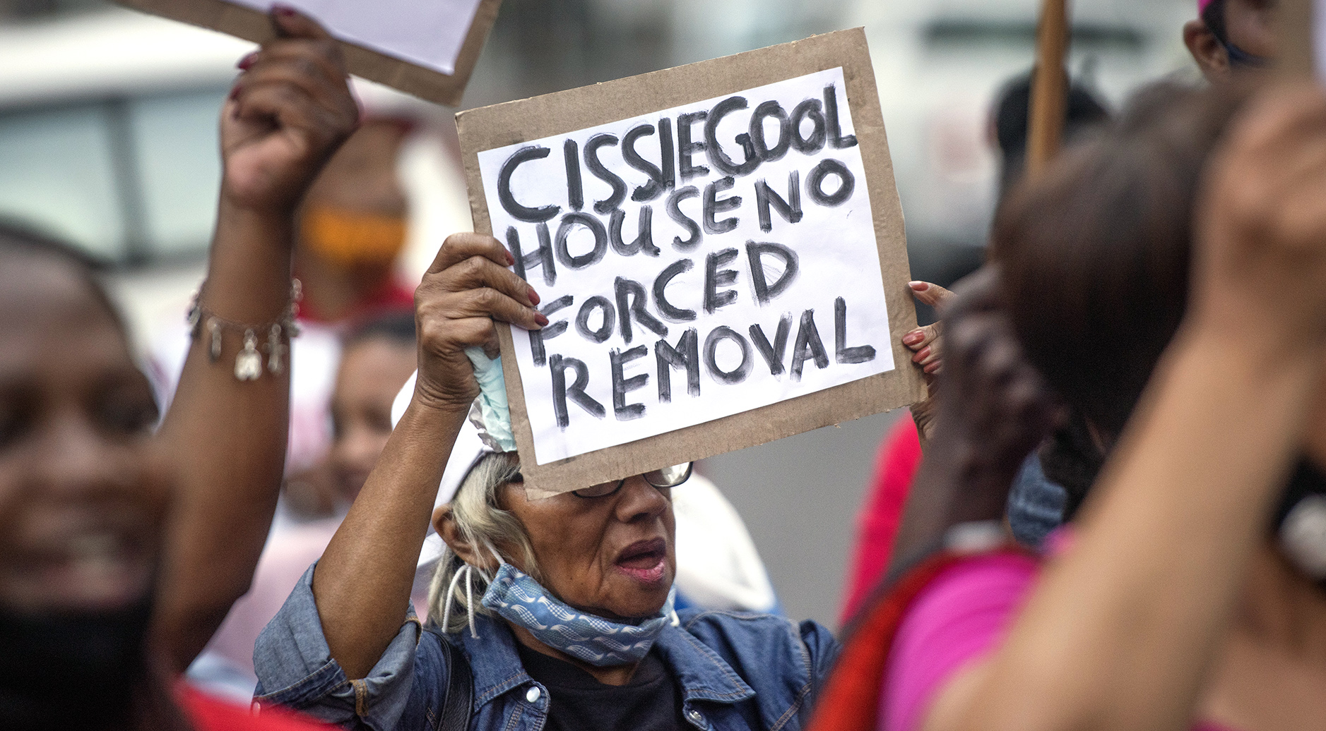
Cape Town, like many South African cities, is in a profound, historically rooted housing crisis. At least 350,000 families are on the housing waiting list, with many more people being forced to live in unsafe, inadequate homes that are far from schools, hospitals, jobs and other crucial services.
At the same time, the enduring legacy of colonialism and apartheid, combined with a highly exclusive property market, means that Cape Town is perhaps the most racially segregated city anywhere on Earth.
Only 25% of Cape Town households can afford the cheapest home on the market, which is a shocking and concerning statistic.
What can be done to meaningfully address this situation, reduce the backlog and build decent homes?
A large part of the answer lies with the transformative value of public land. For too long, public land has been viewed by the government as an asset that can be sold for a short-term cash injection, or as an untouchable resource whose main purpose is to bolster the balance sheets of various state entities.
Instead, because it is already owned by the government and can be sold at a discount, using public land to build affordable and mixed-income housing is perhaps the simplest means of reducing the backlog.
The map demonstrates irrefutably that an enormous amount of a potentially transformative resource is being squandered amid a profound housing and segregation crisis.
When used intentionally and strategically, public land is a powerful tool. It is cheaper to develop than buying private land; it can be sold at a discount to enable maximum affordability; it can enable hundreds of thousands of homes to be built and, if used wisely, it can catalyse the development of entire dense and inclusive neighbourhoods and guide investment for more equitable outcomes.
We hope that our map will help to make these sorts of arguments.
This is only the first version of the map – not every neighbourhood has been mapped yet and some issues are still being ironed out.
Wherever possible, we used the City of Cape Town’s online tools to identify property owners on the understanding that the municipality should have the most accurate data on public land within its boundaries.
This also means that all data used already exist in the public realm, albeit in an inaccessible format.
The lack of consistent and accurate publicly available data means that the map took a long time to produce and is not perfect, but we hope to update it over time and add more information.
Of course, not all of the land detailed in the map is suitable for affordable housing. Some of it is environmentally sensitive, some of it is already planned for development, and some of it may be better suited as a site for a clinic, hospital, community garden, school or other important service.
However, what the map demonstrates irrefutably is that an enormous amount of a potentially transformative resource is being squandered amid a profound housing and segregation crisis.
The City of Cape Town alone owns vacant and underutilised public land roughly the size of 9,500 soccer fields (and that’s just the land we found)!
 The living conditions in the Overcome Heights informal settlement near Lavender Hill in Cape Town on 28 July 2023. (Photo: Gallo Images / Brenton Geach)
Flat-out refusal
Public land is publicly owned – this means it belongs to all of us. The role of the government is to use this land in the best interests of the people.
Instead, there has been a failure to use public land in an equitable, efficient or sustainable manner. All three spheres of government own considerable land in Cape Town, but none of them is properly maximising its true potential to transform the city.
For instance, a joint civil society submission to the Presidency, building on decades of activism from a diverse range of groups, has demonstrated that up to 67,000 homes could be built on the nationally owned Ysterplaat, Wingfield and Youngsfield military bases alone.
We need to break with the current mindset and approach, which has allowed public land to sit idle for decades.
There has been progress on Wingfield, but flat-out refusal to use either Ysterplaat or Youngsfield. In the case of Ysterplaat, the main reason put forward that the land can’t be developed is that the President occasionally needs to land his plane there, which seems like an odd priority compared with how many families could be housed on the site.
However, it is not only these very large pieces of public land that have potential.
A study from the African Centre for Cities argued compellingly that vacant land surrounding schools and other public services could be used to increase both the affordability and density of Cape Town’s housing, while making these spaces safer and more vibrant.
Quite simply, we can and should do a lot more with the significant amount of public land available.
Ultimately, we need to break with the current mindset and approach, which has allowed public land to sit idle for decades. Public land is poorly administered with little overall strategic plan.
Much of it is controlled by departments and government entities who have no plans to use it, yet continue to resist any attempt at putting the land to more productive and just use.
The land release process needs to be urgently streamlined and the state needs to follow through on its obligations in terms of housing and tenure security.
Putting public land to better use is not only a question of justice – it is also a question of economic development, productivity, job creation and environmental sustainability.
We cannot afford to continue down the current path of inaction and stasis.
We hope that our map will help to highlight what is wrong with the approach to public land and assist us in collectively imagining how we could use it differently. DM