


 The Windmills in Nottingham Road in KZN. (Photo: Snow Report SA / Facebook)
South Africa (SA) is in for a weekend of extreme winter weather, with most provinces facing bitterly cold conditions, gusty winds, and the possibility of snow, except Limpopo.
The South African Weather Service (SAWS) has warned that a particularly intense cut-off low system will begin affecting the Western and Northern Cape early on Saturday, 7 June, before sweeping eastward to impact the central and eastern provinces by Monday. SAWS warns the system is likely to persist over the eastern regions until at least midweek.
Daytime temperatures are expected to drop below 10°C in many areas, while parts of the Eastern Cape and KwaZulu-Natal could experience heavy rain and localised flooding.
Snowfall across the country
According to SAWS, every province except Limpopo may experience snowfall, and disruptive snowfalls are anticipated over mountain passes, notably the N3 at Van Reenen’s Pass, where travel may be severely affected on Monday and Tuesday.
Maximum daytime temperatures in many areas are forecast to dip below 10°C, with strong, gusty winds exacerbating the cold. SAWS has advised small stock farmers to take urgent protective measures to avoid losses due to exposure.
The Eastern Cape mountains, the Drakensberg, and even parts of the Western Cape ranges are all on alert for heavy snow, with models suggesting the possibility of more than 20cm — and in some areas, potentially over half a metre — of accumulation.
Additional hazards include:
- Wildfire risk due to strong, damaging winds across central and eastern parts of the interior, beginning Sunday.
- Severe coastal conditions, with near-gale force winds and very rough seas expected from Friday along the south-west coast, spreading to the east coast by Saturday and persisting until Tuesday.
- Flooding and infrastructure damage from heavy rainfall over the Eastern Cape coast and interior on Sunday, extending to southern KwaZulu-Natal on Monday.
- Severe thunderstorms, with a risk of hail and damaging winds, particularly in North West, Gauteng, Mpumalanga and KwaZulu-Natal on Monday and Tuesday.
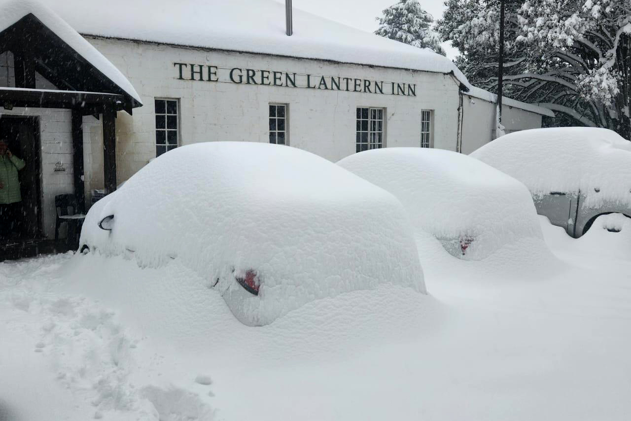
 Expect snow in many parts of South Africa. The Windmills in Nottingham Road in KZN in September 2024. (Photo: Snow Report SA/Facebook)
Is this weather normal for the time of year?
Annette Botha, meteorologist at Vox Weather, explained that cut-off low systems are a normal part of SA’s winter weather pattern, especially during the transition seasons like spring and autumn.
“But even in winter, we usually see one or two strong cut-off lows that bring more widespread cold and snow than our usual cold fronts,” she explained. “These systems form when a pool of cold air breaks away from the main westerly wind belt and shifts north over the country.
“That’s when we get widespread rain, strong winds, icy temperatures and sometimes snow, especially over high-lying areas like the Drakensberg, the Eastern Cape mountains, and occasionally the Western Cape ranges.”
Like we experienced snow last year in some parts of the country — with a major snow event near Van Reenen’s Pass in September — and light snow in Johannesburg in 2023, Botha said that, “these cold snaps can feel more intense when they hit a broader area and especially when they happen this early in the season.”
Ice rain in Gauteng, heavy snow in Eastern Cape
As for snow in Gauteng, Botha said that at this stage, the models aren’t showing it, but they’re not ruling out ice rain. “As we’ve said many times before, cut-off lows are unpredictable, and the forecast can change quickly from one day to the next,” she said.
What’s of bigger concern is the amount of snow expected in the Eastern Cape. Botha explained that both the European Centre for Medium-Range Weather Forecasts (ECMWF) and Global Forecast System (GFS) — are two of the world’s leading global weather forecast models — are now suggesting heavy snowfall, over 20cm possible in the Southern Drakensberg, near towns like Barkly East, Lady Grey and Khowa
“Earlier this week, models even hinted at more than 50cm falling over some of the mountain passes,” said Botha. “So we can’t rule out the system slowing down and dumping over half a metre of snow in the high-lying areas.”
Comrades Marathon runners advised to prepare
Thousands of athletes participating in the Comrades Marathon from Pietermaritzburg to Durban on Sunday, 8 June, should expect mostly mild to warm and windy conditions, with a cool change and risk of showers or thunderstorms later in the day as the cold front approaches the coast.
⛈️Weather forecast for the 8th of June 2025: Comrades marathon detailed forecast. #saws #weatheroutlook #southafricanweather pic.twitter.com/9yymL5qMTI
— SA Weather Service (@SAWeatherServic) June 5, 2025
Natural variability or something more?
Botha explained that right now, what meteorologists are seeing still falls within natural variability — “some winters are dry, others stormy. Larger climate patterns, like ENSO, sea surface temperatures, and upper-level winds, all play a role,” she said.
Remember that Climate variability refers to natural changes in climate patterns, like one summer being hotter and the next cooler, caused by factors such as seasonal cycles or El Niño. These are naturally occurring, and would be happening even if humans weren’t around. But while natural variability means that there will be warmer and there will be cooler years, the average over a longer period (like 30 years) won’t change. So not every abnormality can be attributed to climate change.
“That said, we can’t blame one single storm on climate change,” explained Botha. “We’d need to look at long-term patterns, how often these systems happen, how strong they are, and how that’s changed over time.”
But in general, she noted, “a warmer world means more energy in the atmosphere, and that can lead to more intense or unpredictable weather.”
This aligns with what Professor Guy Midgley, the director of the School for Climate Studies at Stellenbosch University, has previously told Daily Maverick. “There are no climate events that are unaffected by climate change, ”he said, “The question is how much is each affected? Because the atmosphere and oceans are now much warmer than even 10 years ago, every aspect of weather is altered in some way.”
Botha explained that, for example, extra moisture in the air can fuel heavier rainfall or snow, and warmer oceans can shift where and how these systems develop.“So while this event isn’t necessarily caused by climate change, we’re keeping a close eye on the bigger picture,” she said. DM