


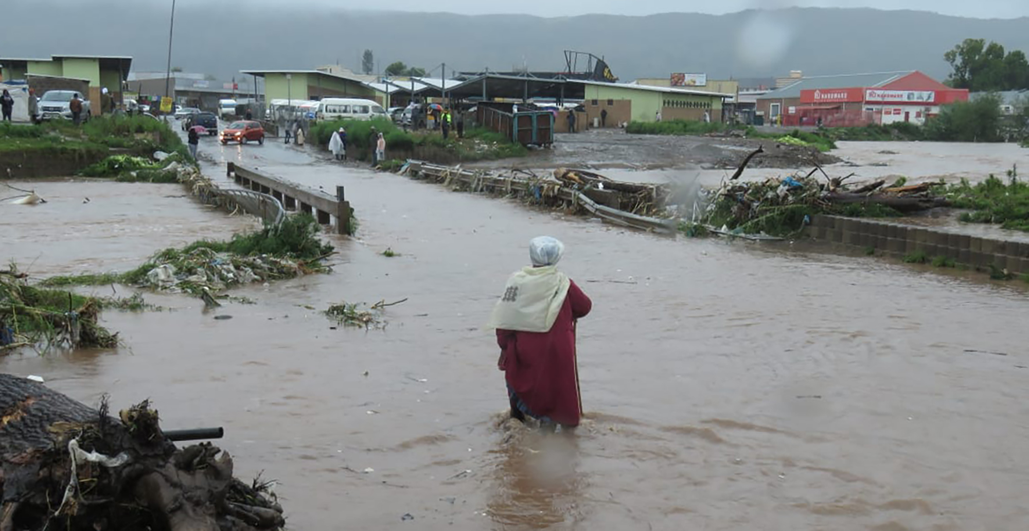
The Presidency said Mpumalanga, the Eastern Cape, Gauteng, KwaZulu-Natal, Limpopo, the Northern Cape and North West had been affected by flooding, which was brought on by heavy rainfall as a result of the La Niña weather phenomenon.
Mpumalanga and the Eastern Cape had been affected the most.
Last week, Ramaphosa declared a National State of Disaster in response to the electricity crisis at Eskom.
This map was updated on Thursday, 16 February, 2023. We shall continue updating it in days to come.