


 THEEWATERSKLOOF, SOUTH AFRICA ñ JUNE 19: The Theewaterskloof Dam after heavy rains on June 19, 2023 in Theewaterskloof , South Africa, South Africa. It is reported that the dam was 96.4% full on Monday morning compared to 77% last week and 67.3 at the corresponding time last year. (Photo by Gallo Images/Die Burger/Jaco Marais)
Researchers tell Daily Maverick that the record-breaking rainfall in July 2024 – what has been described as an extreme and remarkable 2024 winter – was nearly as extreme a climate event as the severe drought that struck the region between 2015 and 2018.
Just six years ago, dams across the Western Cape were bone dry with people queuing up every day to get water. Now these very same dams are at capacity with an abundance of rainfall that has broken historical records across South African Weather Service (SAWS) weather stations in Cape Town throughout July.
 Huge waves smashing against the breakwater in Thre Anchor Bay caused foam on July 08, 2024 in Cape Town, South Africa. (Photo by Gallo Images/Brenton Geach)
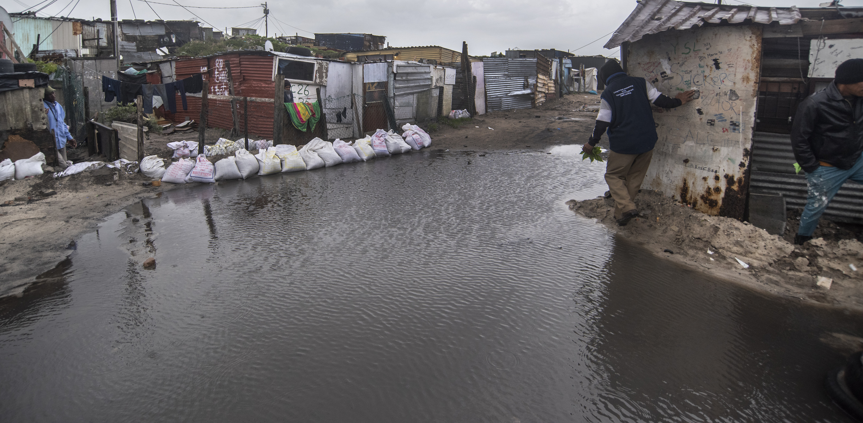
In July, Cape Town saw an ongoing onslaught of cold fronts with grey skies and heavy rainfall occurring week after week with flooding, burst river banks, infrastructure damage and people displaced across parts of the province. This is despite a slow start to the 2024 winter in Cape Town with its June rainfall accumulation notably below normal.
Dr Neville Sweijd, director at the Alliance for Collaboration on Climate & Earth Systems Science (Access), told Daily Maverick: “It was just the other day that we had rainfall failure, which is a negative anomaly. This now is a positive anomaly.”
What records have been broken in Cape Town?
Observatory, the oldest weather station in southern Africa, with data since 1850, recorded the wettest July on record and the third wettest month overall after June 1905 and May 1877.
The Cape Town International Airport station recorded the highest monthly rainfall total since the station’s inception in July 1956, exceeding three times the average for July. SAWS said that this remarkable record underscores the intensity and impact of the multiple cold fronts since the beginning of the month.
Read more: Cape of Storms
To understand the difference between last year’s winter rainfall, which was already a wet winter, and this year’s winter rainfall, the Cape Town City (Oranjezicht) station recorded 317.6 mm of rain in July 2024 whereas last July it saw only 81.8 mm of rain.
SAWS said that 2024 was the highest monthly rainfall recorded for July since comprehensive records began in 1960.
 Rainfall map for July 2023 (left) and July 2024 (right). (Maps: South African Weather Service)
The Newlands station, a notoriously wet region in Cape Town, received more than 500 mm of rain for July 2024, making it the wettest month on record for this station since 1999.
The stations in Franschhoek, Kenilworth and Villiersdorp set new records since their inception in the late 2000s, surpassing the total monthly rainfall recorded during the September storm of 2023.
The Cape Winelands stations, including Paarl, Worcester, and Jonkershoek also broke long-term monthly records in July.
 Clouds over Cape Town on July 26, 2024 in Cape Town, South Africa. (Photo by Gallo Images/Misha Jordaan)
“This recent uptick in rainfall serves as a reminder of the vital role the SAWS plays in preparing communities for the varying weather conditions that can arise. The fluctuations in weather patterns do not only keep us on our toes but also highlight the importance of preparedness and resilience,” SAWS said in its statement.
Why are we seeing record-breaking rainfall and what has been causing it?
Stefaan Conradie, a lecturer in atmospheric science at the University of Cape Town (UCT), explained that the winter started quite slowly, as SAWS put it, with very few frontal systems from April into June.
Then June was particularly inconsistent, Conradie said, because almost all the rainfall fell in the first week, and that rainfall was all contributed by a large cut-off low weather system — which caused massive flooding in Eastern Cape and parts of the Western Cape.
“That was part of a pattern where the fronts were continuously missing Cape Town for the start of the winter, and there was a pattern in the circulation in the southern hemisphere where the fronts were being blocked from entering the area around Southern Africa and being pushed south.

“Because of that, it was very dry during that period. But then the pattern switched around almost completely on 1 July, and then it became extremely wet,” Conradie said.
When July came, cold fronts were being sent straight in towards Cape Town, one after another. In addition, Conradie said the setup was such that moisture, water vapour from South America, was being channelled directly into the mountains here.
This also happened in June 2023 and Conradie said it was quite remarkable that we had these two extreme winter months for two years in a row, with a very similar setup.
“In both cases, it was predominantly cold fronts bringing in a huge amount of moisture from across the Atlantic, from South America, very heavy rainfall along the western mountains, and also intense rainfall at the time. It wasn’t just the accumulation, it was also the individual days with sometimes very heavy rainfall.
“We can definitely say it’s a very extreme and rare event, and it’s particularly rare to have so many such extreme events in such a short period of time – if we also consider the major storms from September 2023, March 2023 and May 2022… We’ve been hit by these major systems over a period of time.”
Read more: The city that blows hot and cold – Cape Town’s flood-drought dichotomy explained
Climate change could be related to the short-term intensity associated with the strongest fronts that were coming through at the beginning of July, but this would need to be tested and investigated first.
“There may be some evidence that because of the enhanced water vapour — the fact that there’s more moisture being evaporated off the warmer oceans, and that then creates potential for heavier rain — that might have made some of the heaviest rainfall that we saw in July, heavier than it would otherwise be,” he said.
Given how many extreme events we had in the recent period, and that two of those months, June 2023 and July 2024, had very similar setups associated with a very large number of fronts, Conradie said there was a need to investigate this and to get to the bottom of it.
Sweijd, from Access, said that the most important change happening around the world that was now relevant was that global average sea surface temperatures (SSTs) were way above the long-term average.
“We are seeing unprecedented SSTs which are degrees warmer than a decade ago… Of course, as an average, it varies across the planet (with some areas even cooler than the long-term average) but what’s important is that the rain that falls on Cape Town doesn’t come from Cape Town.
“It comes from elsewhere, and so with warmer sea surface temperatures, one hypothesis is that there’s more water vapour in the atmosphere, so there’s more rain to fall,” Sweijd said.
Conradie said the warmer sea surface temperatures meant there was more evaporation. At the same time, as the atmosphere warmed, it had more capacity to hold water.
“That’s a major contributor. For every degree Celsius increase in mean temperature, the atmosphere can hold roughly 7% more waterfall vapour. That can add up relatively quickly, and that’s the primary driver globally of why we see more extreme rainfall with increasing temperatures,” he said.
Conradie said this was probably the case for most of South Africa, but because of the evidence in the literature published thus far suggesting that this did not apply to Cape Town, “It’s hard to say anything firmly.”
Global weather tends towards more extreme events
“Expect extreme weather… We’re going to have another drought eventually in the Western Cape. It seems crazy to talk about it in the winter like this. But imagine if I was standing next to Theewaterskloof Dam in January of 2018, with the dam bone dry, and I said that in five years’ time, this dam is going to be 104% full. What are the chances of that? But here we are, every dam is full,” Sweijd said.
 The Theewaterskloof Dam after heavy rains on June 19, 2023 in Theewaterskloof , South Africa (Photo by Gallo Images/Die Burger/Jaco Marais)
He told Daily Maverick that whether this winter’s extreme was attributable to climate change was unclear without testing, but what they did know was that global weather was tending towards more extreme events.
The International Panel for Climate Change (IPCC) Fifth Assessment Report (AR5) included a chapter on extreme events which identified what parts of the world had already experienced such trends and said southern Africa was warming drastically, at twice the global rate.
“We’re among areas where we’re seeing greater temperatures, as in record extreme temperatures. We are seeing greater heavy rainfall events. We’ve seen droughts. These are not abnormal in and of themselves, it’s really the frequency and cumulative and compound impacts that matter,” Sweijd said.
Read more: EXPLAINED: Seven climate tipping points that could change life as we know it
Extreme events are complex because we have to consider various properties – their frequency (how often they occur); their strength (eg the amount of rain); their duration (how long extreme conditions last); and their seasonality (when they occur).
Sweijd said, “Is this winter an extreme event? No doubt. Is it because of climate change? Can’t say that (yet).
“Extreme events are natural. They happen with a certain frequency. Whether we can say that one is being caused by climate change requires analysis. But what we can say is, if you look at the big picture, at the cumulative impact of all these different kinds of extreme events, droughts, and floods. If you look at it cumulatively, at the data, then there’s definitely a trend,” he said. DM