


 Figure 2: Walking catchment areas (800m) of the Metrorail, MyCiti BRT and minibus taxis in Cape Town.
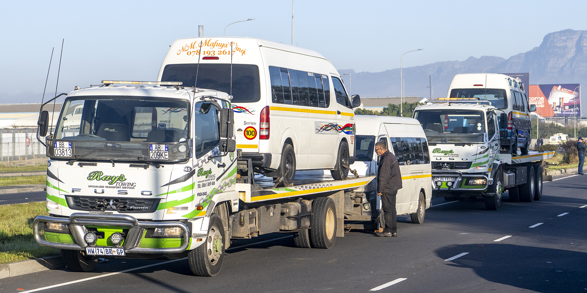
 The minibus taxi strike in Cape Town has left tens of thousands of workers and children stranded and is a salient reminder that urban inequalities are far more than merely an economic issue.
Although there is an increasing acknowledgement of the multi-dimensional effects of urban inequalities, international bodies and governments continue to portray them as an issue that arises due to economic conditions, measured through prevalent, uni-dimensional indices such as the Gini Index.
In this article, I will reflect on an alternative view, proposing that urban inequalities arise through the interaction between society and critical infrastructure in space and time.
I will reflect on the role of accessibility in cities and draw on recent empirical research which examines the relationship between specific social and spatial variables and the geographic positioning of stops and stations of the public Metrorail railway, MyCiti Bus Rapid Transit (BRT) systems and the privately owned minibus taxi system in Cape Town.
Increased emphasis on sustainable development highlights the importance of accessibility for economic development and equitable access for all socioeconomic groups to primary services.
Indeed, aspirations towards creating more socially inclusive, equitable and sustainable cities have become global standards of urban development, supported by the United Nations Sustainable Development Goals (SDGs).
Social exclusion is a phenomenon that results from certain people being denied reasonable opportunities to participate in regional activities that they require and wish to access in everyday life.
It is well recognised that historically disadvantaged communities in South Africa continue to experience geographical, physical and economic obstacles to reaching the opportunities and services that they require. This is reinforced by the fact that land-use zoning schemes, in their current form in many South African cities, are zoned in such a way that economic opportunities are placed far from where the majority of the population live.
Nowhere is this more evident than in Cape Town, where the concentration of economic activity lies in the central business district, with some of the densest neighbourhoods lying some 25km from the CBD (depicted in Figure 1).
 Figure 1: Density of non-residential land use illustrated through point counts in hexagons drawn from the official land-use zoning of Cape Town.
According to the National Household Travel Survey (2020), minibus taxis are the dominant mode of public transport across South Africa, followed by buses and trains.
My empirical research has shed light on the spatial accessibility levels provided by the minibus taxi, MyCiti BRT and Metrorail railway system in Cape Town and, as a case study, may explain why this is the case.
I examine walking distances to the locations of stops and stations of these different modes of transport and analyse the strength of their statistical relationships with other variables in the city, such as land use, street connectivity and socioeconomic variables including the population size of different neighbourhoods.
The walking catchment analysis considered a radius of 800m of a stop (i.e. a 10-minute walk) as a basis for assessing physical proximity for pedestrians, as this, internationally, is considered a reasonable distance to walk to access public transportation.
The two principal statistical analyses employed were Bivariate Correlation Analysis (Pearson) and Multiple Linear Regression Analysis (see my published paper, The spatial and social logic of the minibus taxi network: how access may support social inclusion in Cape Town, South Africa, for more details).
The results of the walking catchment analysis reveal that the minibus taxi provides the highest level of connectivity in the entire metropolitan area of Cape Town, with 60% of the street network within walking distance of a taxi stop.
In stark comparison, only 8% of the street network is within 800m of a train station and 14% of a BRT stop (see Figure 2 below).
Additionally, the statistical model indicates that almost 53% of the frequency of minibus taxi stops in a neighbourhood can be attributed to the combined frequency of business land use, mixed land-use plots, railway stations and total population size of that neighbourhood.
In contrast, the statistical models associated with the BRT and Metrorail revealed little relationship between population density and public transport access provided by them.
When reflecting on these results, the statistical analysis shows that minibus taxi routes and stops are not random, and rather can be viewed as an integral part of the spatial ecology of the city, with the positioning and frequency of their stops responding to the frequency of land use, density of people and working in conjunction with railway stations.
 Figure 2: Walking catchment areas (800m) of the Metrorail, MyCiti BRT and minibus taxis in Cape Town.
Minibus taxis are a bottom-up system that arose due to real need during apartheid, and in many neighbourhoods are still the only form of affordable public transport.
Relatively, the carrier capacity of a minibus taxi is quite small, with a limit of approximately 16 passengers, compared to a train which per carriage could hold about 65 people and a large bus approximately 60 people. However, due to the spatial accessibility of the minibus taxi stops and routes, this system trumps the BRT and railway.
In reality, they should not be covering the long commuting distances they do, but instead, serve as feeders to larger systems which can carry significantly more passengers.
In the case of many neighbourhoods in Cape Town, this infrastructure simply does not exist, meaning that people have no other options, as we have witnessed over the last week with the minibus taxi strikes.
With the current issues put to one side surrounding the strike and accompanying violence, as a main form of public transport (although privately operated), there should be measures in place to increase the operational efficiency of minibus taxis, and government should ideally be working hand-in-hand to support them.
For example, this could be through the provision of designated taxi lanes, designated taxi stops, the introduction of an integrated fare system, as well as a digital rating and registration network to increase safety.
Through official registration of the owner and driver of each vehicle, more transparency and trust would be fostered with the public.
Furthermore, we need a rethink of our current land-use zoning system and investment into other multimodal forms of transport, such as expanding existing railways as bulk infrastructure and the provision of cycling lanes to increase access and provide low-carbon alternatives.
To address urban inequalities, transportation systems need to be designed in such a way that they are integrated with land use and population densities to enable greater equality of access to opportunities for economic and social interactions.
Interestingly, the minibus taxi system exhibits a naturally integrated system between connectivity of land use and population densities in Cape Town, and due to its emergent nature can quickly adapt to rapid urban growth.
Perhaps there is something to be learnt from this adaptability, as urban centres across Africa are set to continue to rapidly expand and all kinds of infrastructure need to be adapted and developed to equitably meet rising demand. DM
Ruth Nelson is an architect turned spatial data scientist and is currently working as an interdisciplinary PhD researcher at the Centre for Urban Science and Policy at TU Delft in the Netherlands. She has a Master’s in Architecture (Nelson Mandela University) and MRes in Space Syntax from University College London. She has worked in corporate, consulting and research roles in South Africa, the UK, Mexico and the Netherlands.