


The weather service issued the warning on Thursday, 24 April, and it will remain in effect until midnight.
Severe weather
alert: Severe thunderstorms
Affected area: Gauteng, Mpumalanga & Limpopo
Validity period: 24 April 2025#saws #weatheroutlook
#southafricanweather pic.twitter.com/rdOT90pxRf
— SA Weather Service (@SAWeatherServic) April
24, 2025
The warning indicates a medium likelihood of severe thunderstorms with significant potential impacts, including flooding, large amounts of small hail and excessive lightning. The weather service warned that heavy downpours could lead to flooding of roads and bridges, damage to infrastructure and disruptions to daily life.
The affected areas include Johannesburg, Ekurhuleni, Mogale City, Rand West City, Emfuleni, Lesedi, Merafong City, Midvaal and Dipaleseng.
SAWS urged residents to follow live storm updates (details below) and to observe lightning safety:
- Stay indoors or in your car during thunderstorms;
- Keep away from windows and avoid using electrical appliances or landline phones;
- Don’t bathe or shower during lightning activity;
- If you’re outside, seek shelter in a building, avoid hilltops, lone trees, and metal structures, and stay away from water; and
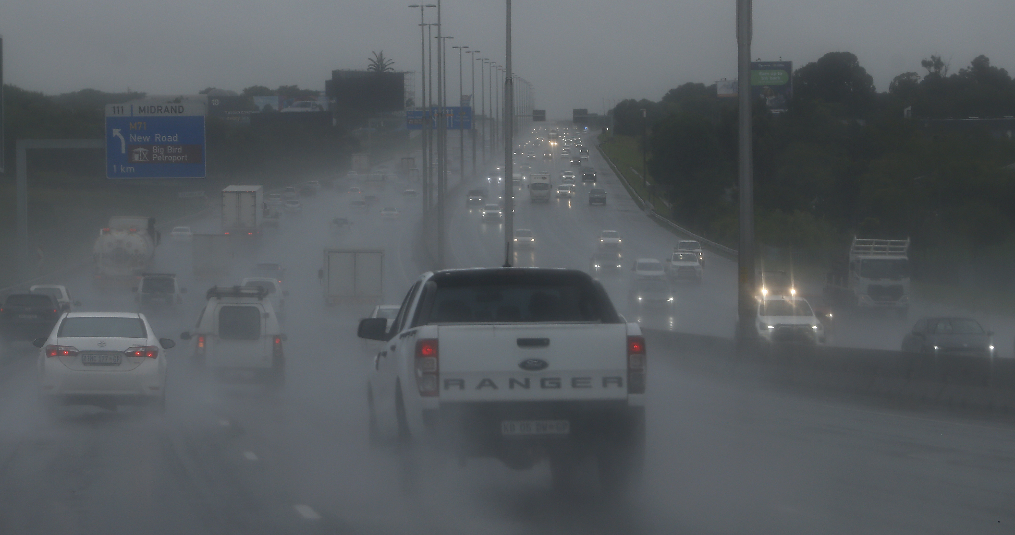
- Motorists should avoid flooded roads and drive with caution.
The cut-off low weather system was expected to hit South Africa from Wednesday, bringing widespread rain, cold temperatures and potentially dangerous storms that could cause flooding and infrastructure damage, the weather service (Saws) warned.
The weather system was expected to make landfall over the western interior on Wednesday and then slowly track eastward. This will result in scattered to widespread showers and thunderstorms across the central and eastern parts of South Africa. In some eastern areas, rainfall could exceed 50mm on Wednesday and Thursday.
Free State and North West are particularly at risk for severe thunderstorms, flooding, and hail damage. Daytime temperatures are predicted to fall sharply across most of the country starting on Wednesday, with a gradual recovery expected from Friday onwards.
What is a cut-off low?
Vox Weather meteorologist Michelle du Plessis explained to Daily Maverick that a cut-off low was an upper air trough that strengthened and became “cut-off” from the main westerly flow in the upper levels of the atmosphere, and spun off on its own.
“These systems are particularly important in South Africa because they can produce widespread heavy rain, thunderstorms, strong winds, and even snow, depending on their position and interaction with surface systems like high pressure or coastal lows,” said Du Plessis.
“They usually form during seasonal transitions like autumn and spring but can also occur in winter, especially when there’s enough upper-air instability.”
Flooding risk
Saws has issued a Yellow Level 4 warning for disruptive rainfall expected across much of the country on Wednesday.
In Free State and North West, heavy downpours are likely to cause flooding of roads and settlements, and there’s potential for damage to infrastructure, property, vehicles and livestock. Severe thunderstorms may also bring damaging hail.
Vox Weather reported that heavy rain will continue along the east coast on Wednesday, particularly in KwaZulu-Natal and the Wild Coast. Rain will persist there through Thursday and Friday, only easing by Saturday.
Significant rainfall (50mm or more) is still likely in parts of the Free State, Gauteng, Highveld, North West and the Bushveld on Wednesday and Thursday, with most of the rain clearing by Friday morning.
“Many areas are already waterlogged and flooded, and with more rain expected the risk of flash flooding remains high,” said Du Plessis.
Saws has urged residents in flood-prone or storm-affected areas to take precautionary measures, including:
- Avoid crossing flooded roads, bridges or low-lying areas, whether on foot or in vehicles.
- Stay indoors and avoid unnecessary travel during heavy rain or thunderstorms.
- Move vehicles, valuables, and livestock to higher ground where possible.
- Secure loose outdoor items that could be swept away or damaged.
- Keep emergency numbers handy, and monitor updates from Saws, local radio, and television stations.
Government communications have confirmed that disaster management teams are on high alert and prepared to assist affected communities where needed.
Snowfall
As temperatures plunge midweek, snowfalls are also likely over the Drakensberg mountains in Lesotho, KwaZulu-Natal, and Eastern Cape.
Vox Weather reported that freezing levels have dropped significantly, and heavy snowfall is expected to peak on Wednesday, with up to 15cm expected across central and eastern Lesotho. More than 20cm of snow is likely over northern Lesotho around Afriski.
Saws meteorologist and weather forecaster Lehlohonolo Thobela explained that when these cut-off low-pressure systems occurred, the temperature dropped, resulting in moisture that helped in the development of clouds, which could result in rain and severe thunderstorms over the central and northeastern parts of the country.
That’s why you will start seeing snow over the high-lying areas of the Drakensberg mountains into KwaZulu-Natal, as well as the extreme eastern parts of the Eastern Cape into Lesotho.
Is all this rain normal?
Thobela said that it was common for weather systems like cut-off lows to develop during autumn, which would include April, as well as into spring.
However, Du Plessis acknowledged: “This year has been unusually wet across many parts of South Africa, with several regions receiving well above their normal rainfall for late summer and early autumn.
“This is largely linked to the influence of a weaker La Niña phase, which tends to enhance rainfall over the interior and eastern parts of the country.”
She noted: “While April typically brings isolated showers and thunderstorms, particularly over the Highveld and eastern regions, the intensity and frequency of rainfall events so far — often driven by more intense systems like cut-off lows — have been above average for this time of year.”
In Saws’ Seasonal Climate Watch for April to August, it said that El Niño-Southern Oscillation (Enso) was currently in a neutral phase and was expected to remain neutral for the foreseeable future.
Thobela explained that Enso had limited influence on South Africa during the winter season and was not expected to have a significant impact. This meant that other weather patterns were primarily driving the current conditions, rather than the El Niño-Southern Oscillation.
Du Plessis said that because we were in a neutral Enso phase we were not officially in an El Niño or La Niña event.
“In South Africa, neutral phases can lead to more variable weather patterns, and as we’ve seen this year, local systems like cut-off lows and tropical influences can still drive significant weather events even without a dominant Enso signal,” she said.
Climate change
“There are no climate events that are unaffected by climate change,” Professor Guy Midgley, the director of the School for Climate Studies at Stellenbosch University, told Daily Maverick.
“The question is how much is each affected? Because the atmosphere and oceans are now much warmer than even 10 years ago, every aspect of weather is altered in some way.”
He added that “each event needs to be carefully assessed with historical trends to quantify by how much, but there is no point ignoring that the weather around all of us has changed”.
Midgley added that: “I think it’s also important to note that because of the natural range of climate variability in this part of the world, the signal of climate change hides in among the noise, but that doesn’t mean to say that it’s not there.
“It’s just that our techniques are not yet sophisticated enough to pull out the signal.”
Climate variability is something that had always happened — even before humans were around — like one year being hotter or wetter than the next, and was caused by things like seasonal cycles or El Niño. But when scientists saw long-term shifts in average temperatures or weather patterns over decades, that was climate change. Today’s rapid warming could not be explained by natural forces alone; it was being driven by human activities like burning fossil fuels.
“Where we do see the signal emerging is in extreme events,” said Midgley, “like the extreme rainfall we’ve seen over the past few months.
“And these are the events that we need to learn from very fast if we are to learn how to adapt to these changes, which are now under way and have been under way for probably decades, but at least the past two decades, and are accelerating in pace.”
The public is urged to monitor updates from Saws via social media or the WeatherSmart app, and to avoid travelling during severe weather alerts unless necessary.
For real-time updates, follow Saws on X (@SAWeatherServic) and Facebook (South African Weather Service) or visit www.weathersa.co.za. For USSD alerts, dial 1207297# for weather warnings. Or download the WeatherSMART app for Apple and Android phones.
For technical and weather inquiries, contact the National Forecasting Centre at 012 367 6041 or visit www.weathersa.co.za. DM