


 A learner walking home from school in alexandra,residents are uged to be on high alert amid heavy rains in johannesburg.(Photo: Felix Dlangamandla)
The weather service (Saws) emphasised that heavy downpours may lead to flooding of roads, bridges and low-lying areas, particularly along major rivers.
⚠️Severe weather alert update: Orange level 5 warning for disruptive rainfall over Gauteng, North West & the north eastern parts of Free State. #saws #weatheroutlook #southafricanweather pic.twitter.com/ykGitUVdlv
— SA Weather Service (@SAWeatherServic) February 18, 2025
Widespread showers and storms
Saws warned on Sunday, 16 February that heavy on-and-off showers were expected across several provinces this week, from Sunday through to Thursday morning (16 to 20 February). The affected areas include North West, Gauteng, the northern Free State, the highveld areas of Mpumalanga and southwestern Limpopo.
Saws noted that isolated to scattered showers and thundershowers were likely to persist into Thursday morning, particularly around the coastal region of the eastern half of the Eastern Cape and the southern coastline of KwaZulu-Natal.
Rainfall accumulation is expected to range between 20mm and 50mm, with daytime temperatures remaining cool in affected areas. According to Saws, the cloudy and showery conditions are driven by moist tropical air transported from a continental low over Botswana.
Before the onset of persistent showers in early January, Saws explained that tropical moisture carries a significant amount of energy. So this week a tropical airmass is expected to bring disruptive rainfall, with daily accumulations of 30mm to 50mm.
Severe thunderstorms are also anticipated in the southern Free State and the northern region of the Eastern Cape, bringing damaging winds, excessive lightning, hail and heavy downpours. Strong, damaging winds are possible along the west and southwest coasts of the Cape provinces.
 A vegetable vendor braves the downpour in Alexandra. (Photo: Felix Dlangamandla)
 Residents of the Stjwetla informal settlement near the Jukskei River in Alexandra have been urged to be on high alert amid heavy rains in Johannesburg on 18 February 2025. (Photo: Felix Dlangamandla)
Flooding and safety warnings
Saws is particularly concerned about localised flooding in susceptible places such as low-lying areas, settlements, bridges and roads.
“The South African Weather Service once again advises the communities living in low-lying areas and flat plains to be on the lookout for the disruptive rain across the central and eastern regions of South Africa from this Sunday to at least Wednesday,” forecaster Lehlohonolo Thobela said on Sunday.
“Motorists and pedestrians should be extra cautious where roads are slippery and/or visibility is affected.”
Safety tips from Saws
- Avoid crossing rivers and swollen streams where the water rises above your ankles;
- Move to higher ground if rising water levels are observed;
- Refrain from travelling on bridges or roads in low-lying areas, which are particularly vulnerable to flooding;
- Never drive into water covering the road. You do not know how deep it is or if the road is washed away; and
- If your vehicle stalls, leave it immediately and seek higher ground.
 The Jukskei River during heavy rain in Alexandra on 18 February 2025. (Photo: Felix Dlangamandla)
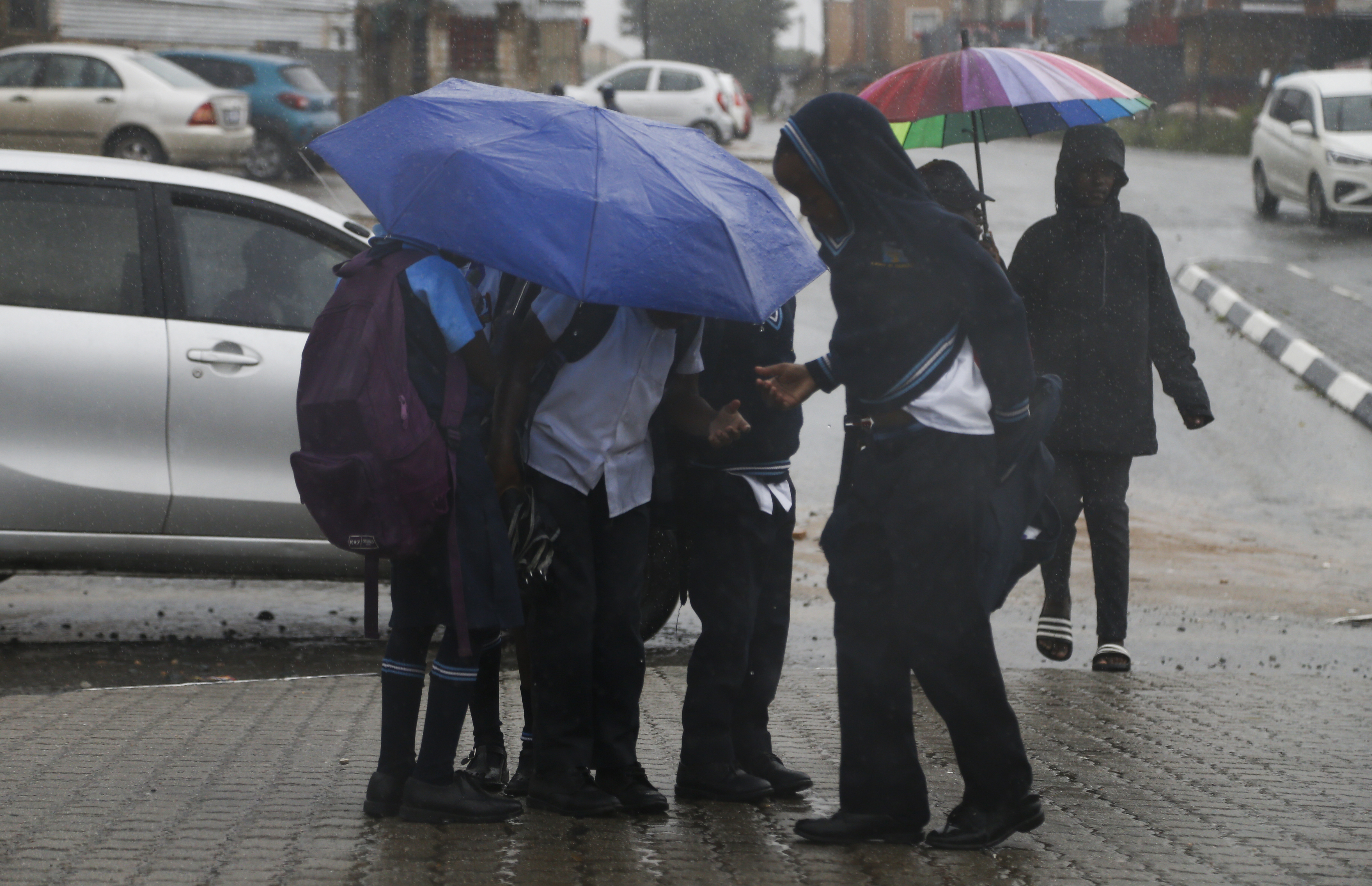
 A pupil walks home from school during heavy rains in Alexandra on 18 February 2025. (Photo: Felix Dlangamandla)
Has La Niña arrived?
The El Niño-Southern Oscillation (Enso) is a natural climate pattern which shifts between three phases – El Niño, La Niña and Enso-neutral – affecting global weather, including rainfall and temperatures.
The latest Seasonal Climate Watch for February to May from the weather service suggests Enso is near the La Niña threshold, but predictions remain uncertain, with a number of global models predicting different directions (either strengthening the La Niña state or moving back to a neutral state).
Read more: Northeast SA set for a drenching, warmer-than-normal across most of SA to June
Professor Willem Landman, a meteorologist at the University of Pretoria and an expert in seasonal forecasts, explained that while La Niña conditions are present, they are weak and unlikely to persist beyond autumn.
He said these conditions need to persist longer than a few months to be classified as a full La Niña season. The current event was weak, which meant its global impact might be less severe compared with stronger events.
A key indicator of El Niño and La Niña was the Niño 3.4 sea-surface temperature index in the central Pacific Ocean. For an event to be considered La Niña, this index must remain below -0.5°C for an extended period.
“Currently the Nin03.4 index is at -0.6°C, and it is not predicted to become a lot stronger or to persist for longer than a few months,” Landman said. “So 2024/25 will probably not be considered to be a La Niña season, even though La Niña conditions have appeared, albeit for a relatively short time.”
He added that it is very difficult to attribute a particular weather event, like the heavy rains seen this week, to particular climate events such as La Niña.
“What we do know, however, is that these types of weather events we are currently experiencing become more prevalent and likely during La Niña seasons.”
Once ENSO-neutral conditions set in during autumn, they may continue through winter into early summer. It was too early to predict if 2025/26 will see another La Niña season or if there will be an El Niño phase next summer.
Why is there a risk of flooding when it rains?
Dr Christien Engelbrecht, lead scientist in Long-Range Prediction at Saws, explained that the current rainfall and flood warnings are typical for this time of year, especially during La Niña conditions. She noted that La Niña is currently present, with cooler-than-normal sea surface temperatures in the central and eastcentral equatorial Pacific Ocean. However, forecasts suggest a shift to a Neutral state between March and May.
“Surface water flow occurs when rain falls where soil is saturated,” she said. “A few days of consecutive rain provides good conditions for increased surface water flow and flooding.”
Adesola Ilemobade, professor of water and infrastructure at the Wits School of Civil and Environmental Engineering, explained to Daily Maverick that in southern Africa, about 65% of rainfall evaporates immediately and 20% returns to the atmosphere through plant transpiration, while only 15% contributes to surface water and groundwater sources.
But in urban areas with more impervious surfaces like roads and buildings, there will be increased runoff and reduced infiltration, which causes localised and major floods in downstream communities.
“In urban areas, whether it’s intense, short-duration rainfall or on-and-off showers like we’ve seen over the past week, the impact can result in localised and major flooding because we’ve got more and more impervious surfaces in urban areas,” said Ilemobade.
He noted that flood-prone areas such as Alexandra, located at the downstream end of the Jukskei River, are particularly vulnerable. This is because the excess rainfall, unable to be absorbed into the ground, accumulates as surface runoff, overwhelming drainage systems.
“The water cycle is based on the law of conservation of matter, which is that matter is neither destroyed, but simply transforms from one form to another,” he added. DM
For real-time updates, follow Saws on X (@SAWeatherServic) and Facebook (South African Weather Service) or visit www.weathersa.co.za.
For USSD alerts, dial 1207297# for weather warnings.
Or download the WeatherSMART app for Apple and Android phones.