


 The roof of Mansoer Wyngaard’s Wynberg house blew off in the strong winds that swept through the region on 11 July 2024. (Photo: Brenton Geach/Gallo Images)
After a week of near nonstop rainfall, the South African Weather Service (SAWS) has confirmed to Daily Maverick that not even halfway into the month, the rainfall in the Western Cape at “all the stations” for July is “already above normal.”
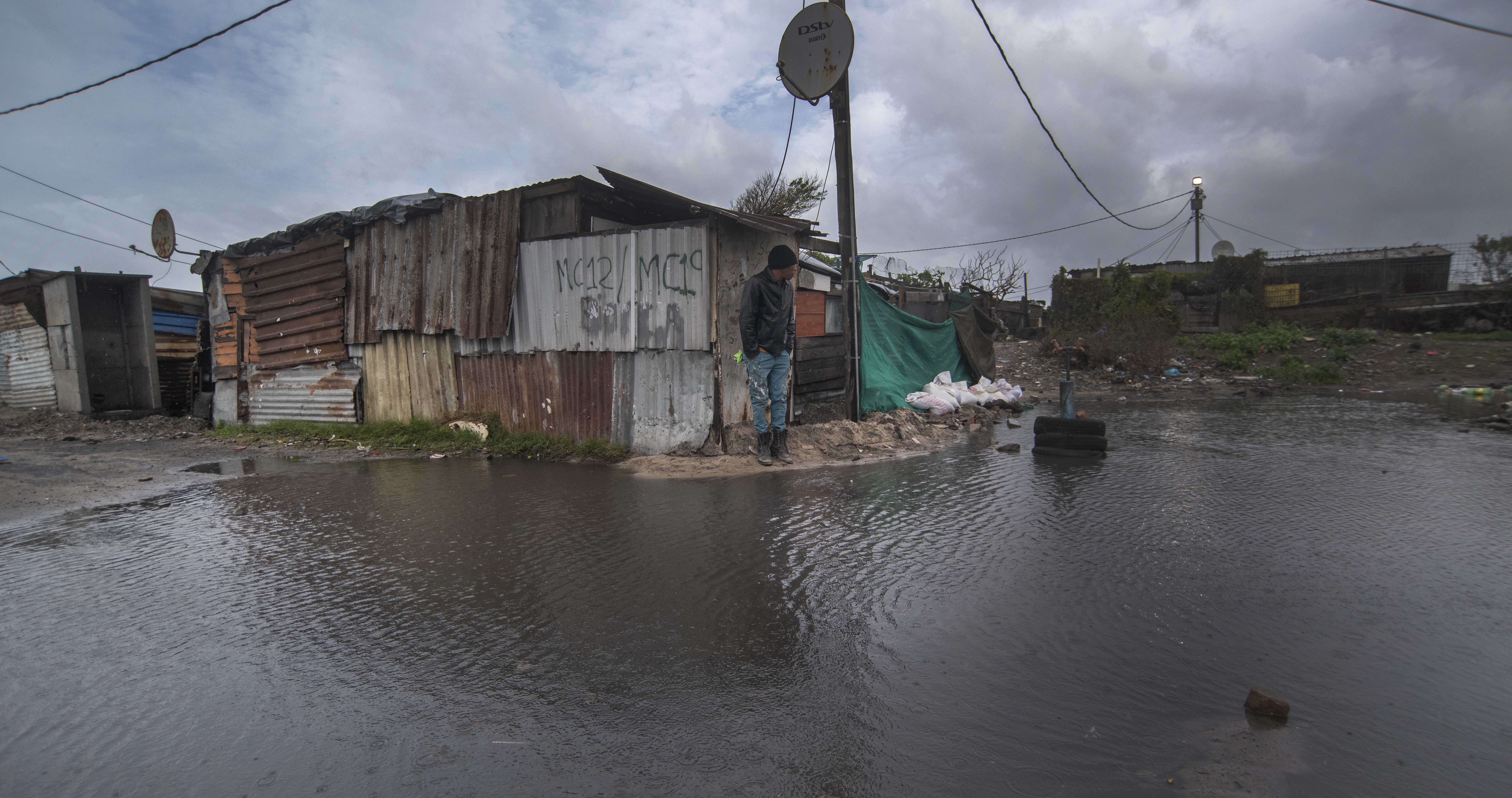
Daily Maverick reported on Friday that the provincial government confirmed that 100,000 residents and 33,000 structures had been affected following a week of inclement weather – disruptive rain, damaging winds and cold – in parts of the Western Cape.
According to the City of Cape Town media office, 37 areas across the metro were affected to a greater or lesser extent.
“Some of the worst-affected areas are Khayelitsha, Lwandle in Strand, Nomzamo, Gugulethu, Masiphumelele, Macassar, Sir Lowry’s Pass, Mfuleni, Tafelsig and Vygieskraal, Ocean View, among other areas,” it said
Read more in Daily Maverick: Western Cape weather warnings remain as response teams race to help those in need
 Houses were damaged and roofs blown off in Wynberg, Cape Town, on 11 July 2024. (Photo: Brenton Geach / Gallo Images)
Dr Peter Johnston, research officer with the Climate System Analysis Group at the University of Cape Town, shared with Daily Maverick some of his insights on the rain-drenched week and what role – if any – human-induced climate change played.
“The question is not ‘why is it [this] wet’ or ‘is it going to be like this in the future?’ The question is, is this an extreme event? And are extreme events happening more and more often? We’ve had droughts, we’ve had normal years; now we have a very, very wet year.
“We as scientists look and say ‘okay, what’s the natural variability like? Do you expect to have wet winters like this?’ And the answer is, frankly, we don’t expect it to be this wet. So it’s kind of an extreme event.”
SAWS’ Robin-Lee Batties confirmed Johnston’s analysis, telling Daily Maverick that “the rainfall in July 2023 was below normal and all the stations are already above normal for July 2024 (and we are not even midway through the month). Some records are also on the cards for July to date.”
Read more in Daily Maverick: Level 6 warning declared as two new fronts bear down on Western Cape
 The roof of Mansoer Wyngaard’s Wynberg house blew off in the strong winds that swept through the Western Cape on 11 July 2024. (Photo: Brenton Geach /Gallo Images)
Notwithstanding the natural variability of its impacts in the Western Cape in particular, Johnston explained that a warming atmosphere is assessed to be causing more extreme weather events.
“And here’s a big ‘but’: global warming is the situation where the atmosphere is getting warmer and warmer … So that atmosphere itself, when it’s heating, it’s getting more excited and the processes in the atmosphere are being accelerated. So there’s more evaporation, there’s more uplift, there’s more wind, there’s more exchange of energy; that’s happening in the atmosphere. And this, ultimately, we suspect is leading to more extreme events, especially when we’re talking about heat waves, hurricanes, major rainstorms, etc. So, extreme rainfall is very likely to increase in frequency because the globe is warming.”
Johnston explained that the cold fronts are the weather systems that bring the Western Cape its winter rains, but that certain influences on these natural systems are being affected by a warming planet.
While these “systems seem to be persisting” and are “more frequent than we’ve experienced for a while”, Johnston also made it clear that “there’s no scientist in South Africa who’s been saying that this is a direct result of climate change”.
“What we are saying is that we don’t fully understand the impacts of climate change, and that this could be something that we see in the future, but we must not say that we are never going to have a drought again because a lot of the models are suggesting that the high pressure cells are strengthening, and they are stopping these kinds of systems coming in.
“What we can say for sure is that climate change is causing unexpected and almost unpredictable extreme events to be more frequent.”
Elani Heyneke, senior forecaster at SAWS’ Cape Town Weather Office, told Daily Maverick on Friday, 12 July: “It is not uncommon for the winter rainfall season to experience a series of cold fronts. The Western Cape experienced similar conditions last year June. However, it will take time to determine the abnormality of these systems.”
“More rainfall and severe weather is on its way due to more cold fronts making landfall during the course of the weekend and into next week,” Heynecke said. DM