There is a 55% likelihood of a transition to La Niña between now and November, which rises to 60% from October to February, the World Meteorological Organization (WMO) said on Wednesday in its latest El Niño/La Niña update.
This is a downgrade from the WMO’s forecast in June when it saw a 60% chance of La Niña forming from July to September and a 70% prospect from August to November.
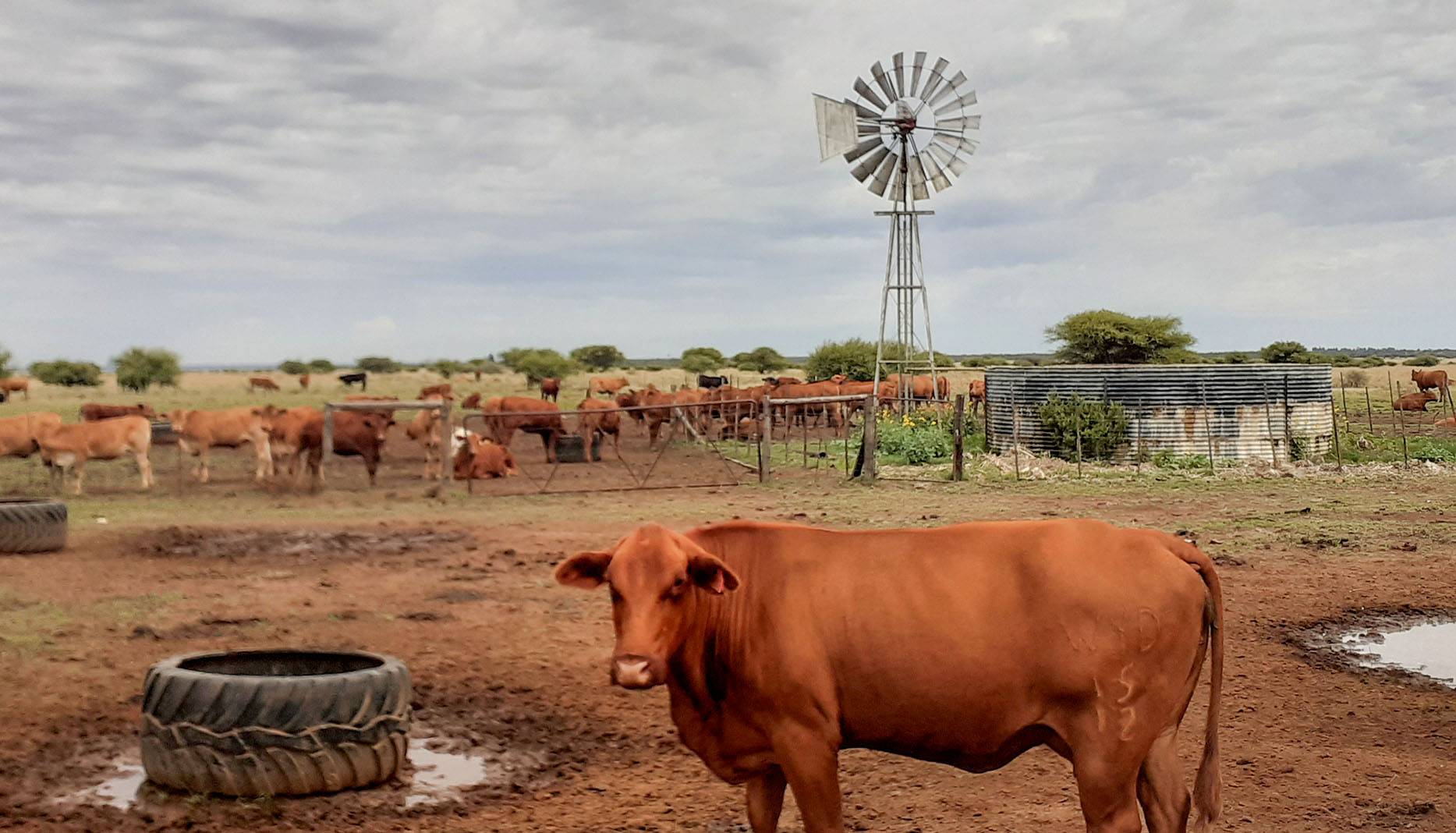
The stakes are high: farmers big and small across southern Africa desperately need the rains that La Niña usually unlocks as hunger stalks the region in the wake of the drought triggered by the latest El Niño event, which faded around April/May this year.
South Africa’s 2024 summer grains and oilseed crop, which includes the staple maize, is estimated to have declined 22% compared with last year while tens of millions of people face hunger in Zimbabwe, Zambia and Malawi after the drought devastated the plots of subsistence farmers who rely on rain.
Thankfully, the WMO says the chance of El Niño redeveloping between now and February is “negligible”.
But the prospects of a La Niña summer for this region, while still pretty good, have slowly been whittled down, with the timing pushed out further and further. And other forecasters have said La Niña is not likely to be as strong as previously expected.
The latest Seasonal Climate Watch issued by the South African Weather Service on 31 August said that predictions “indicate the development of a La Niña state during the start of the summer season, however there is still significant uncertainty in the predictions”.
Over the next five months the weather service sees drier-than-normal conditions over northeastern South Africa while the coastal southeast and central regions should have a wet spring and early summer. But it will be warmer than usual across most of the country, a state of affairs that will require good rains to replenish and maintain soil moisture and dam levels.
El Niño and La Niña are players on the global weather stage of what is known as the El Niño-Southern Oscillation (ENSO) cycle, which is currently in its neutral phase between the pair.
This cycle is linked to westward trade winds along the Pacific in equatorial latitudes. When they weaken, warm water flows to the east, giving rise to El Niño (Little Boy in Spanish). La Niña (Little Girl) is triggered when trade winds are stronger than usual and channel warm water towards Asia. In the eastern Pacific, this causes cold water to “upswell” to the surface.
Read more: Explainer — El Niño’s impact and what to expect from La Niña
While natural, the events produced by the cycle have been becoming more extreme because of climate change linked to the burning of fossil fuels.
“The past nine years have been the warmest on record even with the cooling influence of a multiyear La Niña from 2020 to early 2023. The 2023-24 El Niño event started emerging in June 2023 and peaked in November 2023-January 2024 as one of the five strongest on record before dissipating,” the WMO noted in its update. DM
https://www.youtube.com/watch?v=REeWvTRUpMk
This article is more than a year old
Africa
World Meteorological Organization scales back chance of La Niña forming this year to 60%
The World Meteorological Organization still sees the odds favouring the La Niña weather pattern forming this year, but it has lowered them to a range of 55% to 60% from 70% previously. The stakes are high: farmers big and small across southern Africa desperately need the rains that La Niña usually unlocks as hunger stalks the region.